UN
59 Lunar Drive
£ 119,000
Description
We don't have a Description for this property.
- Bedrooms
- 3
- Bathrooms
- 0
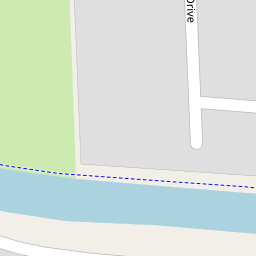
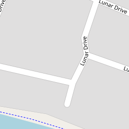

Leaflet © OpenStreetMap contributors
The heatmap indicates the level of crime in the area. The color of the heatmap indicates the crime severity and recency.
Metrics Year-on-Year
- Average area value
- 314,167.00 £Increased by 22.99 %
- Average area rental value
- 1,038.00 £/moIncreased by 30.24 %
- Est rental Yield
- 3.96 %Increased by 5.88 %
- Crime Rate
- 4.00 %Unchanged by 0.00 %
from 255,439.00 £
from 797.00 £/mo
from 3.74 %
from 4.00 %
Nearby Schools
| Name | Type | Ofsted | Distance |
|---|---|---|---|
| Netherton Children'S Centre | Children's Centre | 0.46 KM | |
| St Benedict'S Catholic Primary School | Voluntary Aided School | Good | 0.58 KM |
| The Grange Primary School | Community School | Good | 0.67 KM |
| St Oswald'S Church Of England Primary School | Voluntary Aided School | Good | 0.71 KM |
| The Grange Primary School And Childrens Centre | Children's Centre Linked Site | 0.89 KM |
Images
Nearby Streets
| Name | Average Price | Average Sqft | Distance |
|---|---|---|---|
| William Harvey Close | £ 125,000 | 0 | 0.00 KM |
| Leonard Cheshire Drive | £ 125,000 | 0 | 0.00 KM |
| Grosvenor Close | £ 210,000 | 0 | 0.00 KM |
| Harrow Close | £ 270,000 | 0 | 0.00 KM |
| Saint Gregory's Croft | £ 140,000 | 0 | 0.00 KM |
Nearby Transport
| Name | NLC | TLC | Distance |
|---|---|---|---|
| Old Roan | 2258 | ORN | 2.33 KM |
| Aintree | 2125 | AIN | 2.69 KM |
| Orrell Park | 2247 | OPK | 3.56 KM |
| Rice Lane | 2131 | RIL | 4.03 KM |
| Walton (Merseyside) | 2251 | WAO | 4.13 KM |
Nearby Listings
| Address | Price | Type | Score | Distance |
|---|---|---|---|---|
| Green Park, Bootle | £ 120,000 | BUY | 6 / 10 | 0.19 KM |
| Canterbury Way, Bootle, L30 | £ 120,000 | BUY | 5 / 10 | 0.22 KM |
| Lunar Drive, Netherton | £ 205,000 | BUY | Unknown | 0.26 KM |
| Parkway, Netherton, Merseyside, L30 | £ 145,000 | BUY | 7 / 10 | 0.29 KM |
| St. Oswalds Lane, Netherton, Merseyside, L30 | £ 149,950 | BUY | 6 / 10 | 0.35 KM |
Nearby Properties
| Address | Price | Distance |
|---|---|---|
| 106 Lunar Drive | £ 110,000 | 0.00 KM |
| 84 Lunar Drive | £ 130,000 | 0.00 KM |
| 78 Lunar Drive | £ 155,000 | 0.00 KM |
| 68 Lunar Drive | £ 120,000 | 0.00 KM |
| 121 Lunar Drive | £ 170,000 | 0.00 KM |